NDTVCenter·
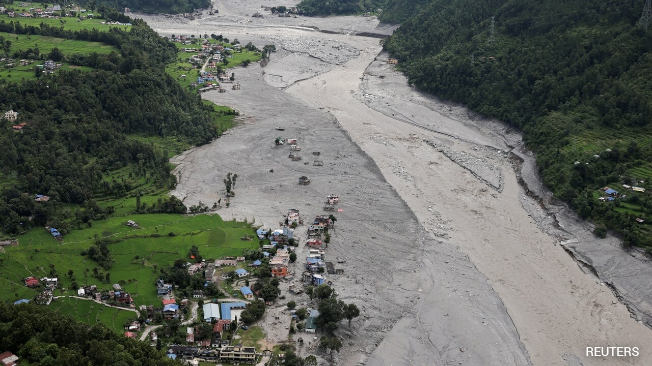
Satellite Images Show How Trishuli River In Nepal Swelled Up To 6 Times, Swallowed Houses
The NDTV team analysed satellite images by Vantor, Planet Labs PBC, Google Earth, and Google Open Buildings to understand the changing course of the Trishuli river, which carried the bulk of the devastating slurry.
Read at NDTV →